Loading map...
Initializing MapTiler basemap...
Field-level water usage at massive scale
Analysis & Insights
Monitor agricultural water consumption across thousands of field boundaries using advanced satellite imagery and AI-powered analysis. Each point on the map represents active monitoring of Peru's agricultural regions.
About Afon.ai
Our Mission
To provide farmers, agricultural organizations, and policymakers with precise, actionable insights into field-level water usage. By combining cutting-edge satellite technology with advanced AI algorithms, we enable data-driven decisions that promote sustainable agriculture and water conservation at scale.
We believe that every drop of water counts, and through our technology, we're helping create a future where agriculture thrives while preserving our planet's most precious resource.
Our Vision
A world where every farmer has access to precise, real-time insights about their water usage, enabling them to make informed decisions that maximize crop yields while minimizing environmental impact.
We envision a future where agricultural water management is not just efficient, but intelligent, sustainable, and accessible to farmers of all scales across the globe.
Our Team

Dr. Sarah Chen
CEO & Co-founder
Remote sensing expert with 10+ years in agricultural monitoring and water resource management. Previously led satellite data initiatives at NASA and holds a PhD in Environmental Science from Stanford University.
Miguel Rodriguez
CTO & Co-founder
Machine learning engineer specializing in satellite data processing and geospatial analytics. Former senior engineer at Google Earth and holds an MS in Computer Science from MIT.
Dr. Priya Patel
Head of Data Science
Agricultural scientist focused on crop water requirements and irrigation optimization. PhD in Agricultural Engineering with 8+ years of field research experience in water-stressed regions.
Our Technology
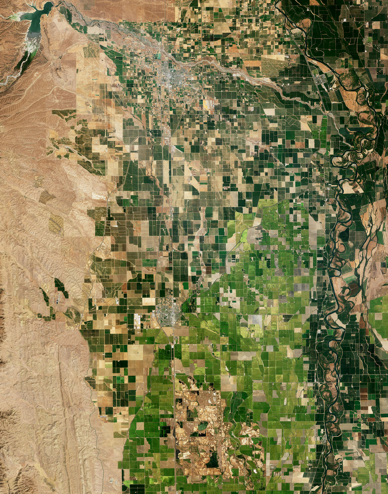
Field-Level Precision Analysis
Our advanced satellite imagery processing enables detailed comparison of different field types, crop conditions, and water usage patterns. This precision allows farmers to identify variations within their own fields and compare performance across different agricultural practices.
By analyzing field boundaries and vegetation health indicators, we provide insights that help optimize irrigation strategies and improve overall agricultural efficiency.
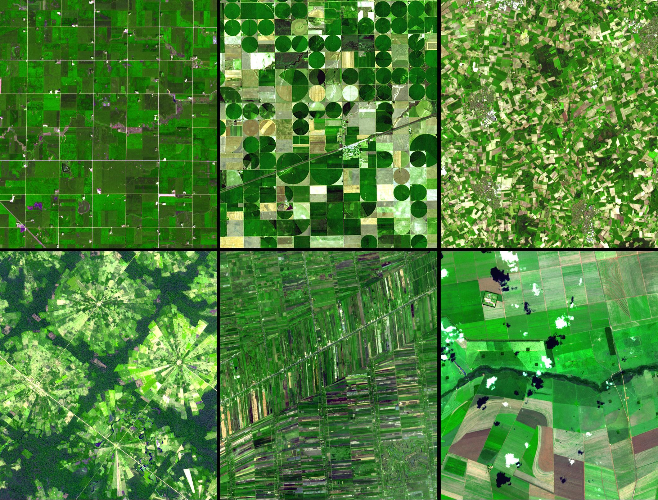
Regional Agricultural Monitoring
Our satellite technology provides comprehensive coverage of agricultural regions, from coastal areas to inland farming zones. This enables monitoring of diverse ecosystems and agricultural practices across different geographic and climatic conditions.
By analyzing regional patterns, we help identify best practices and optimize water management strategies that can be applied across similar agricultural landscapes.
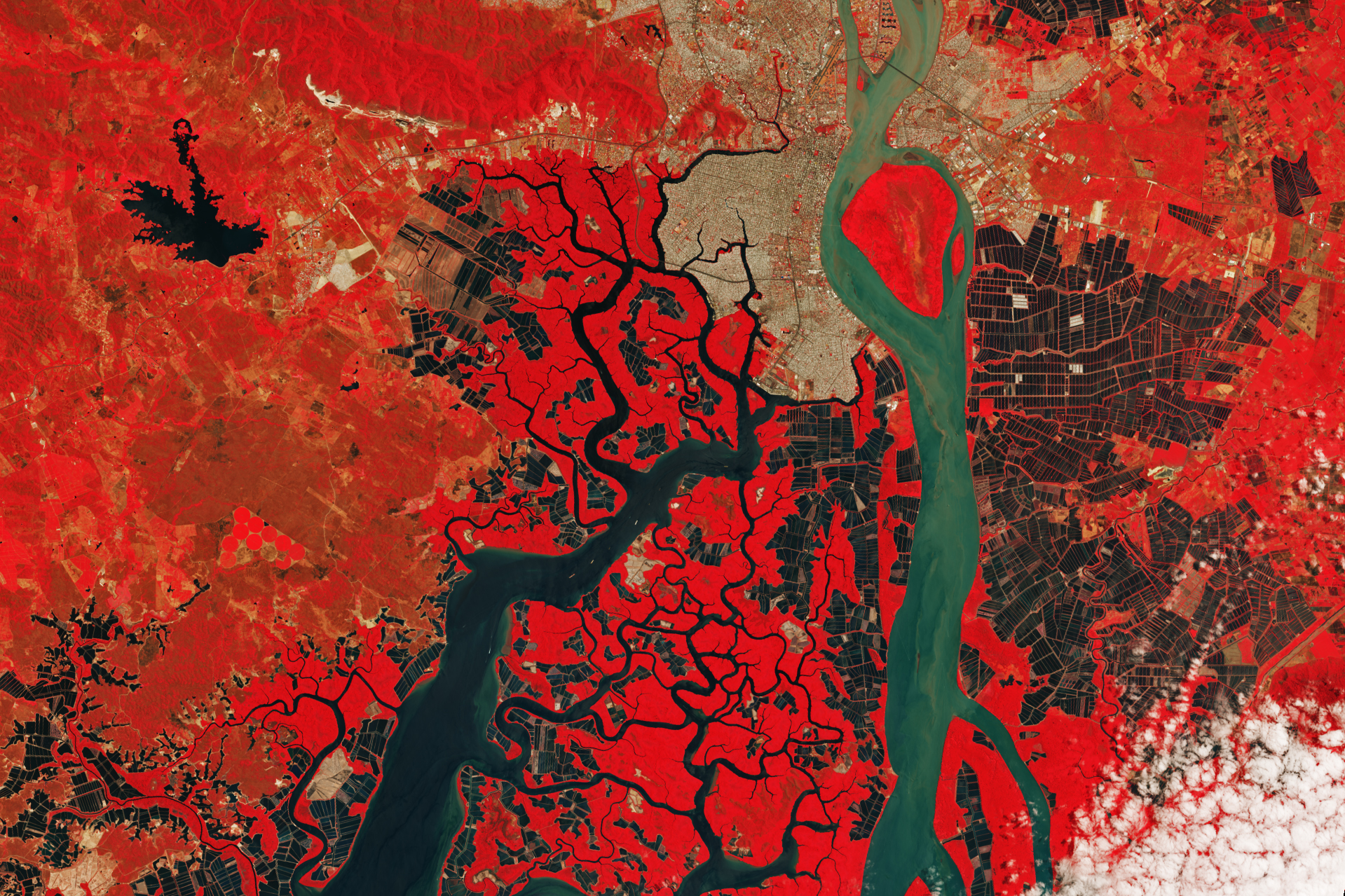
Precision Crop Monitoring
Our satellite technology provides detailed insights into crop health and water usage patterns, enabling farmers to monitor everything from rice paddies to large-scale agricultural operations with unprecedented precision.
By analyzing vegetation indices and water stress indicators, we help optimize irrigation schedules and improve crop yields across diverse agricultural landscapes.
Our Impact
Water Savings
Average reduction in water usage across monitored fields through optimized irrigation practices.
Fields Monitored
Agricultural plots across Peru currently being monitored for water usage and crop health.
Accuracy Rate
Precision of our water requirement predictions compared to ground-truth measurements.
Get In Touch
Ready to Optimize Your Water Management?
Whether you're interested in our technology, partnership opportunities, or have questions about agricultural water monitoring, we'd love to hear from you.